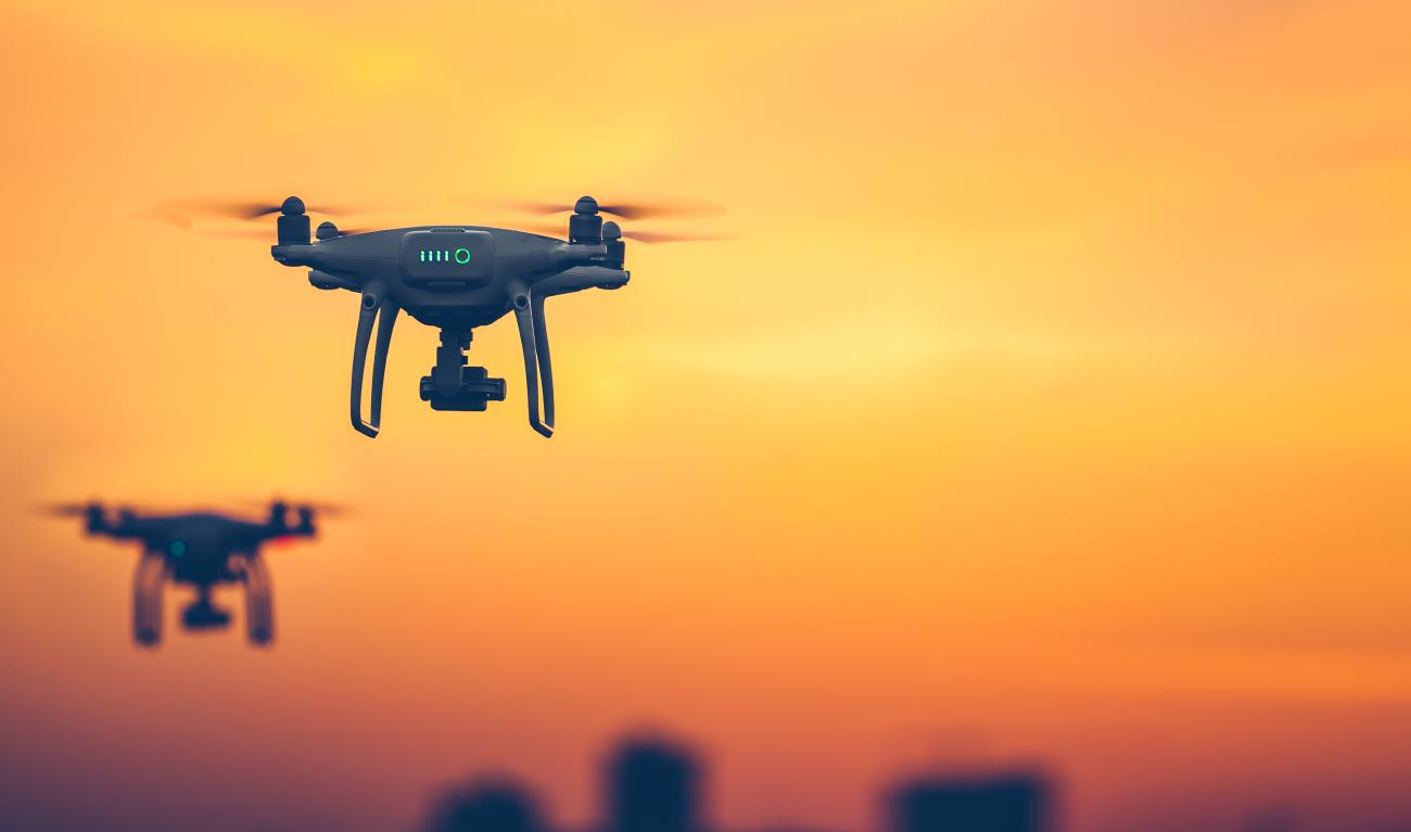
High-Flying Drone Services Orpington for Surveys, Mapping & Inspections
We provide safe, cost-effective, and high-quality drone services in Orpington for businesses, homeowners, and infrastructure operators across Sevenoaks, Kent, and the South East.With our fully qualified, CAA-certified pilots, we deliver accurate aerial data and stunning imagery, helping you reduce risk, save time, and cut costs.
Our Drone Services
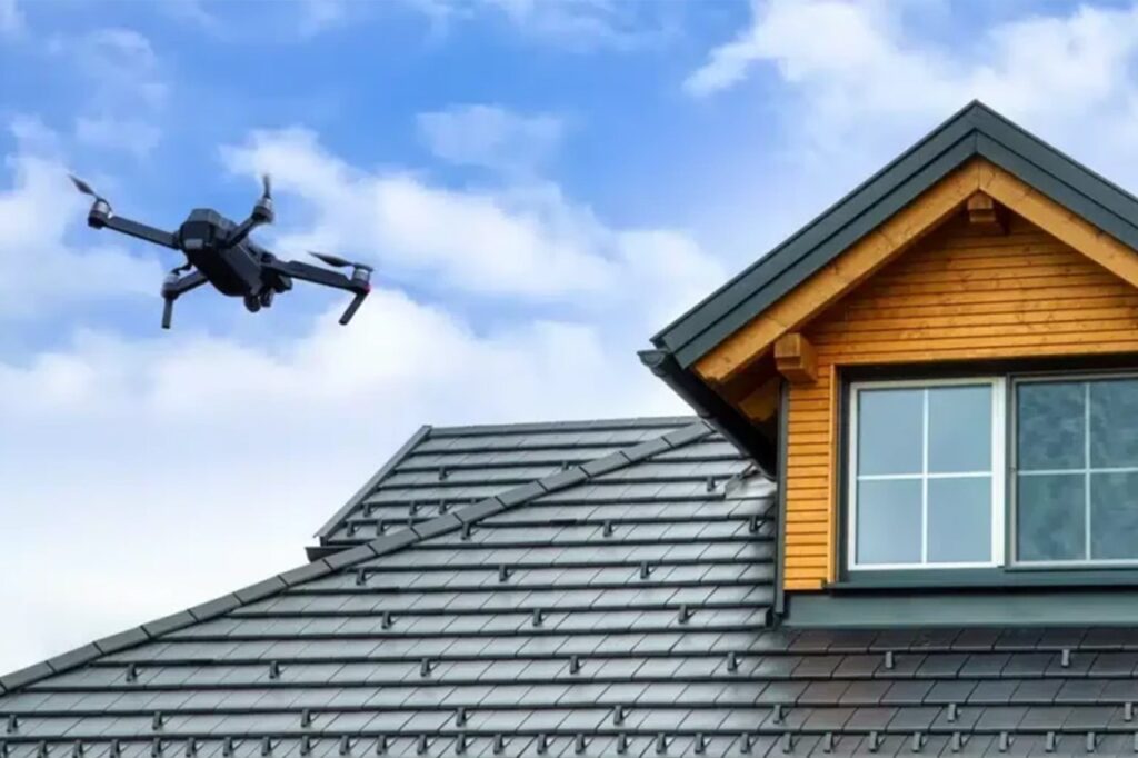
- Roof & Building Inspections
- High-resolution aerial imagery to assess roofs, chimneys, gutters, and hard-to-reach areas.
- Ideal for surveyors, roofing companies, estate agents, and facilities managers.
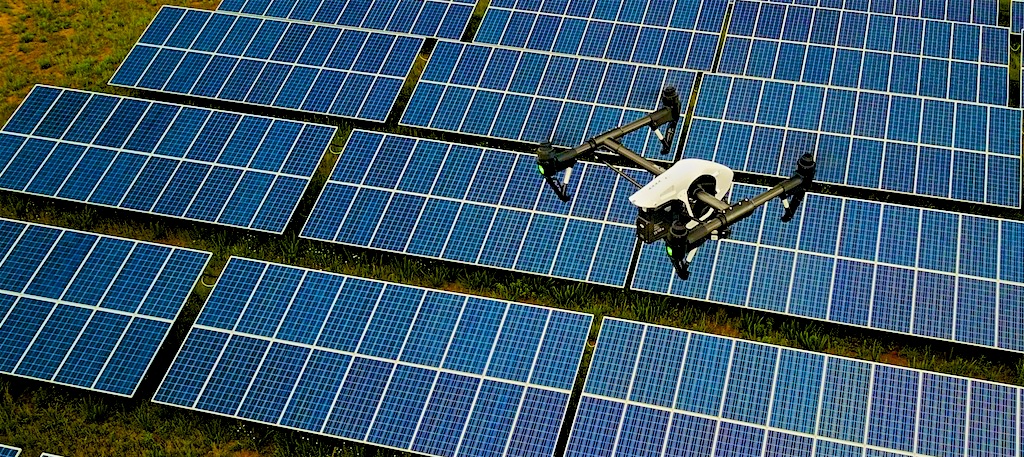
- Solar Panel Inspections
- Fast aerial checks for damage, dirt, or shading.
- Improve efficiency and reduce downtime for solar installers and property owners.
- Construction Progress & Site Surveys
- Regular aerial updates for project managers and developers.
- Document progress, enhance reporting, and keep stakeholders informed.
- Mapping & 3D Modelling
- Generate precise 2D maps and 3D models of land, buildings, or assets.
- Valuable for planning, agriculture, and infrastructure projects.
- Infrastructure Inspections
- Safe, detailed inspections of bridges, railways, telecom towers, powerlines, and industrial facilities.
- Reduce the need for scaffolding, rope access, or costly downtime.
- Provide engineers and asset managers with accurate, actionable data.
Why Choose Us?
- Fully Qualified Pilots – certified under UK Civil Aviation Authority standards.
- Safety First – comprehensive risk assessments and safe operating practices.
- Cost-Effective – inspections without scaffolding, cherry pickers, or disruption.
- High-Quality Data – crystal-clear 4K imagery and accurate survey results.
Difference NetNavi Makes in Drone Services
Roof & Building Inspections
We provide high-resolution aerial imagery through our drone services to assess roofs, chimneys, gutters, and other hard-to-reach areas. Ideal for surveyors, roofing companies, estate agents, and facilities managers who need safe, accurate inspections without scaffolding or ladders.
Mapping & 3D Modelling
Leverage our drone mapping services to generate precise 2D maps and 3D models of land, buildings, or assets. Perfect for planning, agriculture, infrastructure, and development projects requiring detailed spatial data.
Solar Panel Inspections
Our drone services quickly identify damage, dirt, or shading on solar panels. This helps property owners and solar installers improve efficiency, reduce downtime, and maintain optimal energy output.
Infrastructure Inspections
Our drone inspection services deliver safe, detailed surveys of bridges, railways, telecom towers, powerlines, and industrial facilities. Reduce the need for scaffolding, rope access, or costly downtime, while giving engineers and asset managers accurate, actionable data.
Construction Progress & Site Surveys
Monitor your projects with regular aerial updates using our drone services. Project managers and developers can document progress, enhance reporting, and keep stakeholders informed with clear, accurate imagery.
Aerial Photography & Filming
Capture stunning visuals with our drone photography and filming services. Perfect for marketing, promotional content, events, or real estate, providing cinematic perspectives that traditional photography cannot achieve.